The Best Landscape Photo Spots around Soekarno-Hatta International Airport in Indonesia

Explore Landscape pictures of Soekarno-Hatta International Airport with the travel spots on a map
Download the Travel Map of Indonesia on Google Maps here
7 Landscape Spots of Soekarno-Hatta International Airport on a Map
Pictures of Landscape on the interacive map of Soekarno-Hatta International Airport
Download On Google Maps 🗺️📲Landscape Spots and Pictures around Soekarno-Hatta International Airport
Discover popular destinations in Soekarno-Hatta International Airport with their travel guides
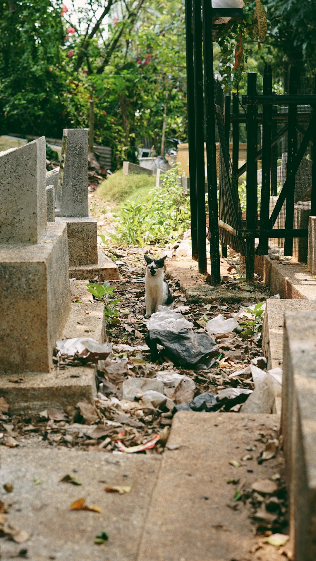
Soekarno-Hatta International Airport
Read the Travel guide View on Google Maps
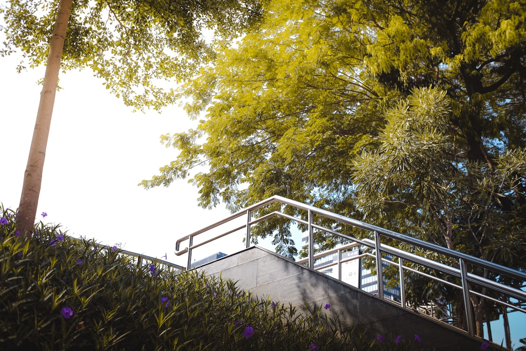
Jakarta Selatan
23 km away from Soekarno-Hatta International Airport
Read the Travel guide View on Google Maps
Jakarta
23 km away from Soekarno-Hatta International Airport
Read the Travel guide View on Google Maps


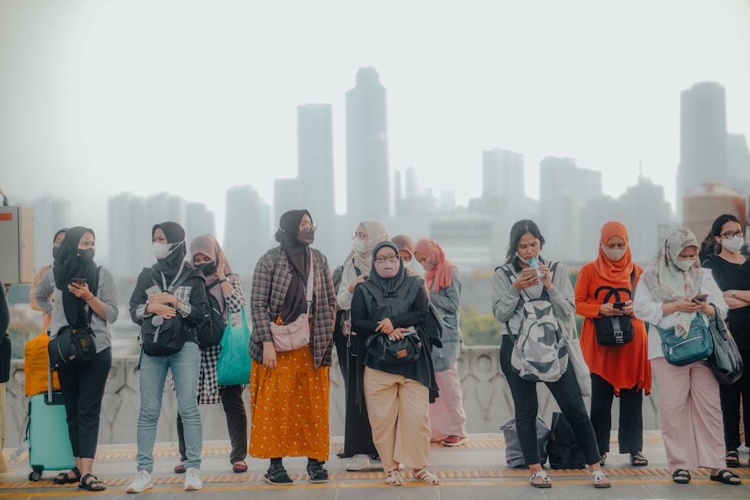
Stasiun Manggarai
24 km away from Soekarno-Hatta International Airport
Read the Travel guide View on Google Maps
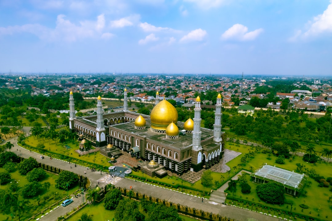
Jalan Masjid Kubah Emas
32 km away from Soekarno-Hatta International Airport
Read the Travel guide View on Google Maps
Bogor
47 km away from Soekarno-Hatta International Airport
Read the Travel guide View on Google Maps


Anyer
82 km away from Soekarno-Hatta International Airport
Read the Travel guide View on Google Maps

Book your Travel Experience in Soekarno-Hatta International Airport
Discover the best tours and activities in Soekarno-Hatta International Airport and book your travel experience today with our booking partners
Learn More about Soekarno-Hatta International Airport
Find Hotels in Soekarno-Hatta International Airport
Discover the best hotels around Soekarno-Hatta International Airport, Indonesia and book your stay today with our booking partner booking.com